The Economic Impact of Wellington’s Tunnel Project
Introduction Transportation infrastructure plays a critical role in shaping urban economies. The Wellington Tunnel project, which aims to enhance connectivity and accessibility in the region, is expected to yield economic benefits. This blogpost explores the economic concepts underpinning the potential gains from this project, focusing on agglomeration economies, productivity improvements, and the broader economic implications …
Read more “The Economic Impact of Wellington’s Tunnel Project”

Assessing Green Spaces Accessibility in New Zealand: A Geospatial Analysis
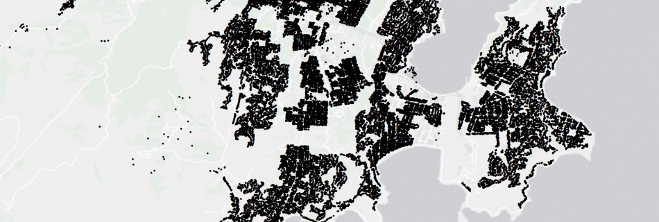
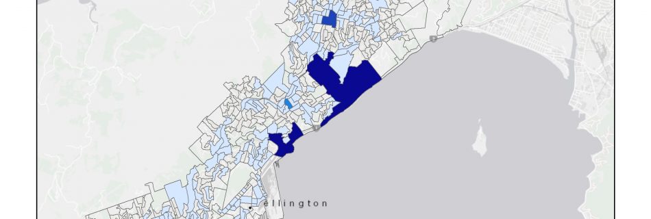
Introduction Access to green spaces is essential for the well-being and quality of life of urban residents. They provide opportunities for recreation, relaxation, and connection with nature, offering numerous physical and mental health benefits. In this blog post, I present a geospatial analysis that aims to evaluate the availability of green spaces within a 15-minute …
Read more “Assessing Green Spaces Accessibility in New Zealand: A Geospatial Analysis”
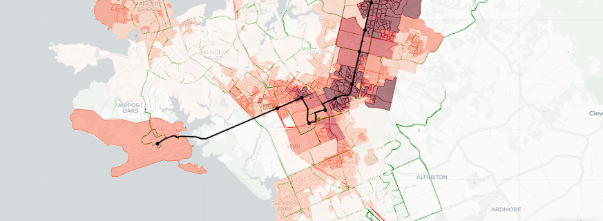
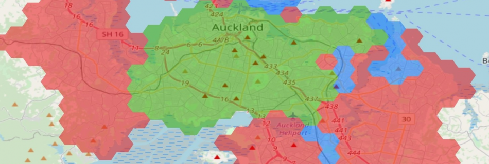
Evaluating the impact of Airport to Botany Rapid Transit
The Airport to Botany Rapid Transit project (A2B) will deliver a new public transport route between the airport, Manukau and Botany. It will improve accessibility in the southern and eastern areas of Auckland. It will also provide an important link in the rapid transit network, with connections to the rail network at Puhinui and Manukau …
Read more “Evaluating the impact of Airport to Botany Rapid Transit”
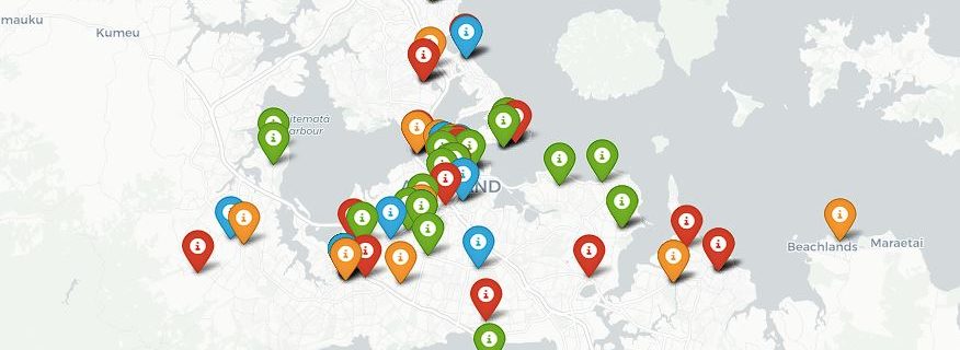
Mapping AT’s cycling events
Spatial data could be sourced from unusual places. Auckland Transport shares its cycling events on Facebook, which comes with location and address information. This data can be used for all sorts of analyses. @Danial has extracted AT’s cycling events from 2019 to 2022, and I have visualised them in a web map. You can download …
Car, transit, or bicycle who wins in a March Madness race?
I recently saw an article in NZ Herald about a race between 4 people using different transportation modes (car, bus, bicycle, and train) to travel from New Lynn into the city. Google Maps can provide an estimation of travel time for all these modes but the experiment showed the actual travel time can be different. The final …
Read more “Car, transit, or bicycle who wins in a March Madness race?”
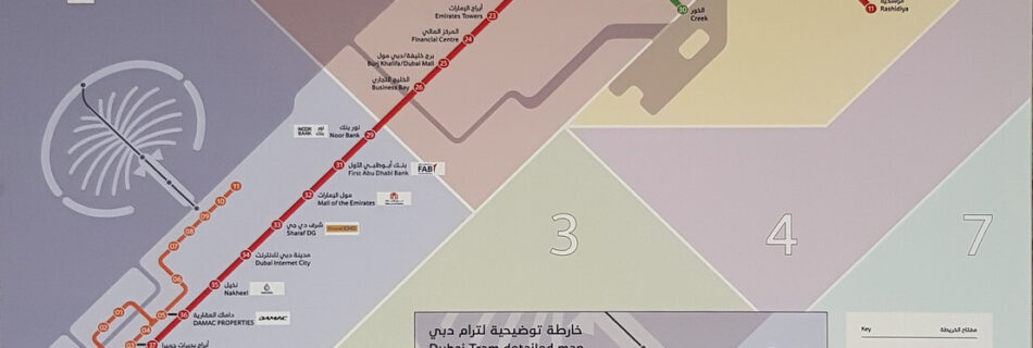
One-day public transport in Dubai, a review
Recently, I had a chance to visit Dubai and use its iconic Metro system. The Dubai Metro is a rapid transit rail network with three operational lines, and it seems a few more lines are planned. In this review, I would like to summarise what I learnt from it. Good It is driverless and stylish. …